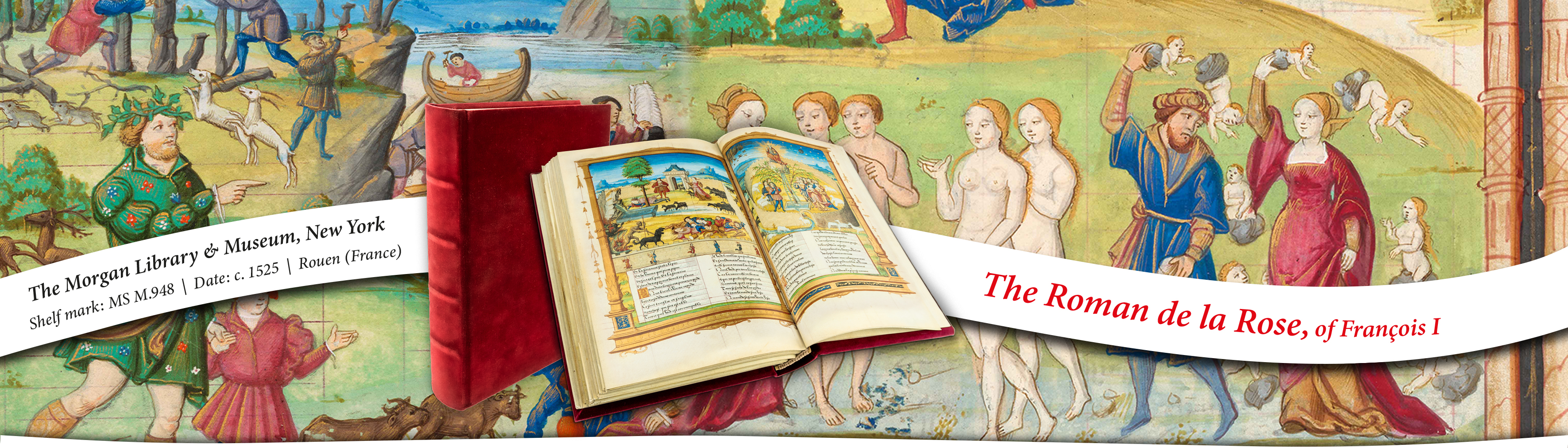
ART BOOKS
The Middle Ages and the Renaissance through the most beautiful illuminated manuscripts
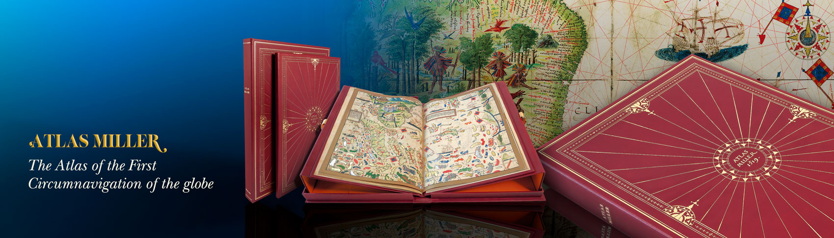
ART BOOKS
The Middle Ages and the Renaissance through the most beautiful illuminated manuscripts
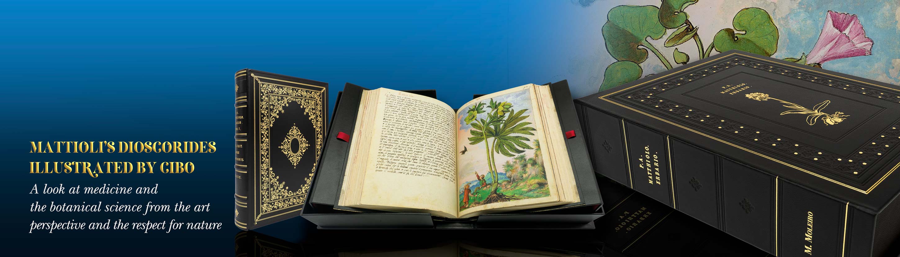
ART BOOKS
The Middle Ages and the Renaissance through the most beautiful illuminated manuscripts