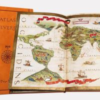
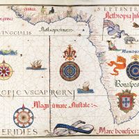
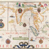
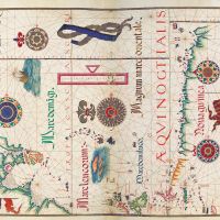
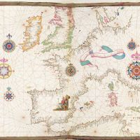
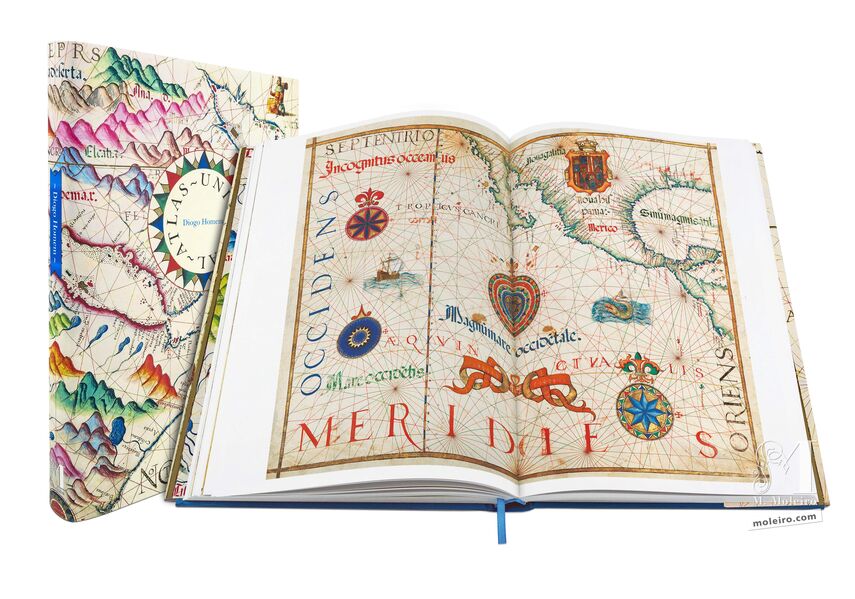
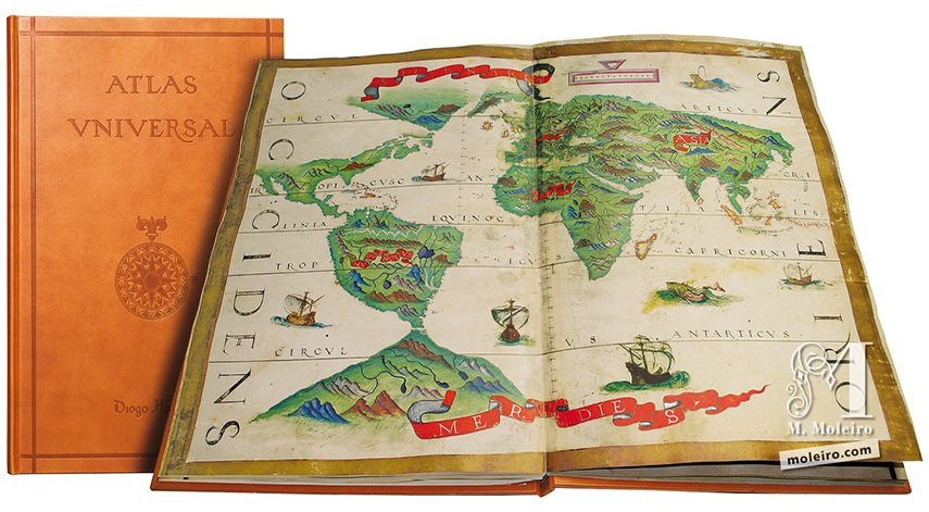
Universal Atlas
National Library of Russia, St Petersburg
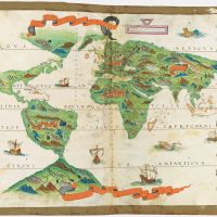
Size: ± 294x 451 mm.
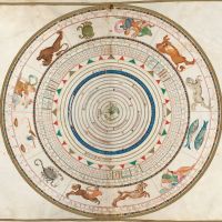
40 pages.
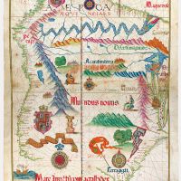
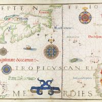
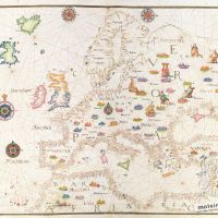
19 two-page charts.
Brown leather binding.
Leather case.
Commentary volume (334 p.) by Alfredo Pinheiro Marques (University of Coimbra, Director of the "Centro do Estudos do Mar- CEMAR") and Ludmila Kildushevskaya (National Library of Russia).
Unique and unrepeatable first edition, strictly limited to 987 numbered and authenticated copies.
ISBN: 978-84-88526-62-5
Size: ± 294x 451 mm.
40 pages.
19 two-page charts.
Brown leather binding.
Leather case.
Commentary volume (334 p.) by Alfredo Pinheiro Marques (University of Coimbra, Director of the "Centro do Estudos do Mar- CEMAR") and Ludmila Kildushevskaya (National Library of Russia).
Unique and unrepeatable first edition, strictly limited to 987 numbered and authenticated copies.
ISBN: 978-84-88526-62-5