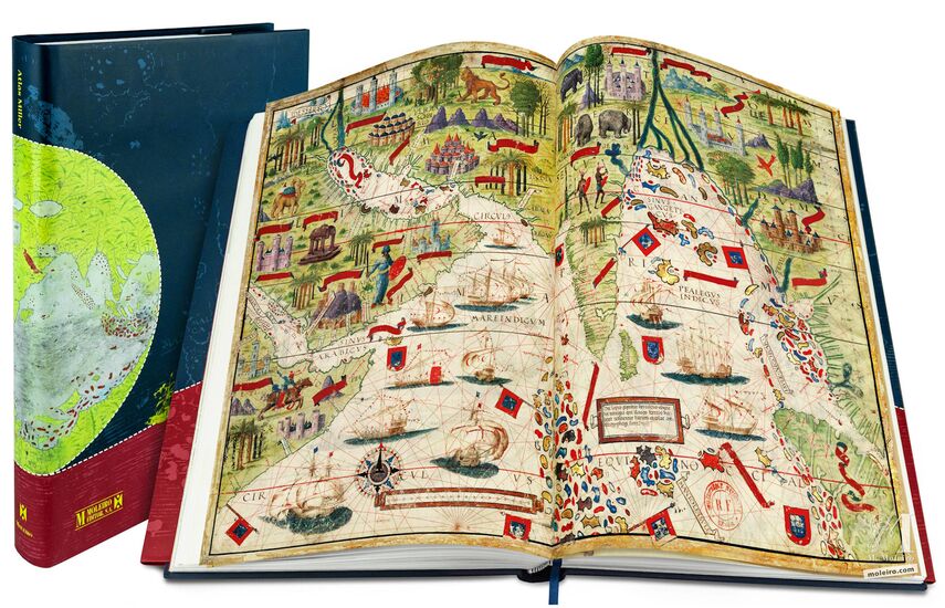
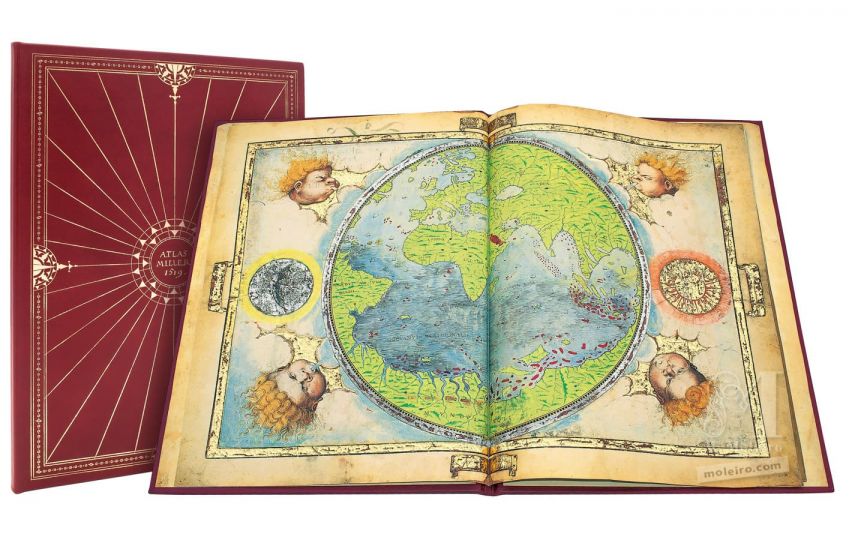
Atlas Miller
Bibliothèque nationale de France, París
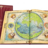
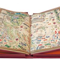
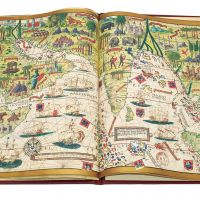
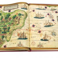
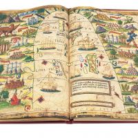
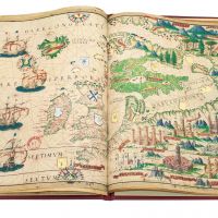
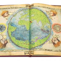
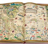
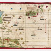
Date: 1519
Format: 6 parchemins: 8 cartes de dimensions 41,5 x 59 cm et 2 cartes de 61 x 117 cm
Œuvre conjointe de Pierre et Georges Reinel, Lopo Homem (cartographes) et Antoine de Hollande (miniaturiste)
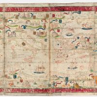
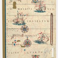
Les zones géographiques représentées dans l’atlas sont: Planisphère, l’Océan Atlantique nord, l’Europe du Nord, l’Archipel des Açores, Madagascar, l’Océan Indien, l’Indonésie, la Mer de Chine, Les Moluques, le Brésil, et la Mer Méditerranée
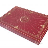
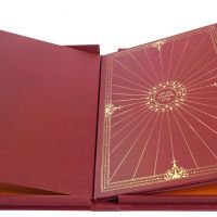
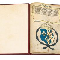
Étuis en soie
Volume de commentaires en couleurs (432 p.) rédigé par Alfredo Pinheiro Marques (Centro do Estudos do Mar Luís de Albuquerque), Luís Filipe Thomaz (Director of the Institute for Oriental Studies of the Portuguese Catholic University) et Bernardo Sá Nogueira (Universidade de Lisboa)
« Quasi-original », édition première, unique, numérotée et limitée à 987 exemplaires certifiés par notaire
ISBN: 978-84-96400-04-7
Date: 1519
Format: 6 parchemins: 8 cartes de dimensions 41,5 x 59 cm et 2 cartes de 61 x 117 cm
Œuvre conjointe de Pierre et Georges Reinel, Lopo Homem (cartographes) et Antoine de Hollande (miniaturiste)
Les zones géographiques représentées dans l’atlas sont: Planisphère, l’Océan Atlantique nord, l’Europe du Nord, l’Archipel des Açores, Madagascar, l’Océan Indien, l’Indonésie, la Mer de Chine, Les Moluques, le Brésil, et la Mer Méditerranée
Étuis en soie
Volume de commentaires en couleurs (432 p.) rédigé par Alfredo Pinheiro Marques (Centro do Estudos do Mar Luís de Albuquerque), Luís Filipe Thomaz (Director of the Institute for Oriental Studies of the Portuguese Catholic University) et Bernardo Sá Nogueira (Universidade de Lisboa)
« Quasi-original », édition première, unique, numérotée et limitée à 987 exemplaires certifiés par notaire
ISBN: 978-84-96400-04-7