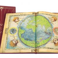
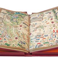
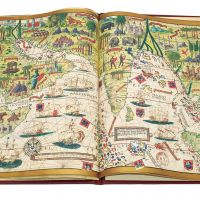
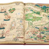
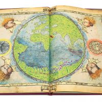
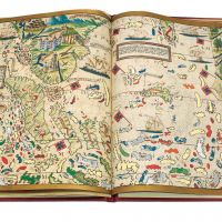
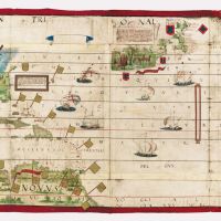
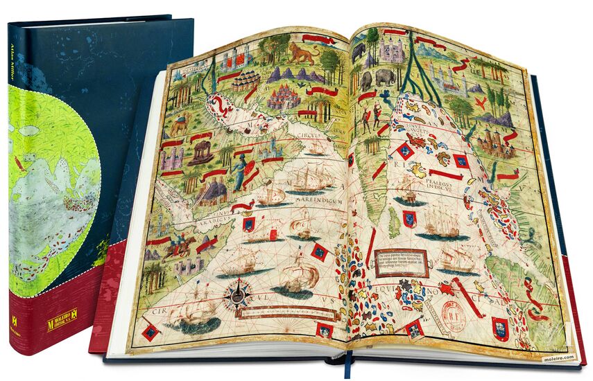
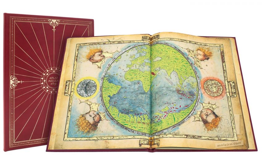
Atlante Miller
Bibliothèque nationale de France, Parigi
Data: 1519.
Misure: 6 pergamene: 8 mappe di 41,5 x 59 cm. e 2 mappe di 61 x 117 cm.
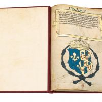
Opera congiunta di Pedro e Jorge Reinel, Lopo Homem (cartografi) e Antonio d'Olanda (miniatore).
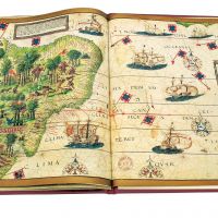
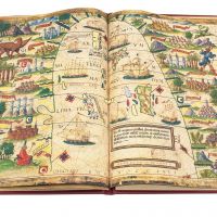
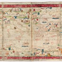
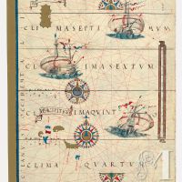
Le zone geografiche rappresentate nell’atlante sono: Planisfero, l´Oceano Atlantico settentrionale, l´Europa settentrionale, l´Arcipelago delle Azzorre, il Madagascar, l´Oceano Indiano, l´Insulindia, il Mare della Cina, l´Arcipelago delle Molucche, il Brasile e il Mediterraneo.
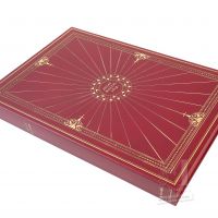
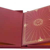
Astuccio in seta.
Volume di commento a colori (432 pag.), a cura di: Luís Filipe Thomaz (Director of the Institute for Oriental Studies of the Portuguese Catholic University), Alfredo Pinheiro Marques e Bernardo Sa Nogueira (Universidade de Lisboa).
«Quasi-originale», edizione prima, unica ed irripetibile, limitata a 987 esemplari autentificati con atto notarile.
ISBN: 978-84-96400-04-7
Misure: 6 pergamene: 8 mappe di 41,5 x 59 cm. e 2 mappe di 61 x 117 cm.
Opera congiunta di Pedro e Jorge Reinel, Lopo Homem (cartografi) e Antonio d'Olanda (miniatore).
Le zone geografiche rappresentate nell’atlante sono: Planisfero, l´Oceano Atlantico settentrionale, l´Europa settentrionale, l´Arcipelago delle Azzorre, il Madagascar, l´Oceano Indiano, l´Insulindia, il Mare della Cina, l´Arcipelago delle Molucche, il Brasile e il Mediterraneo.
Astuccio in seta.
Volume di commento a colori (432 pag.), a cura di: Luís Filipe Thomaz (Director of the Institute for Oriental Studies of the Portuguese Catholic University), Alfredo Pinheiro Marques e Bernardo Sa Nogueira (Universidade de Lisboa).
«Quasi-originale», edizione prima, unica ed irripetibile, limitata a 987 esemplari autentificati con atto notarile.
ISBN: 978-84-96400-04-7
Data: 1519.
Misure: 6 pergamene: 8 mappe di 41,5 x 59 cm. e 2 mappe di 61 x 117 cm.
Opera congiunta di Pedro e Jorge Reinel, Lopo Homem (cartografi) e Antonio d'Olanda (miniatore).
Le zone geografiche rappresentate nell’atlante sono: Planisfero, l´Oceano Atlantico settentrionale, l´Europa settentrionale, l´Arcipelago delle Azzorre, il Madagascar, l´Oceano Indiano, l´Insulindia, il Mare della Cina, l´Arcipelago delle Molucche, il Brasile e il Mediterraneo.
Astuccio in seta.
Volume di commento a colori (432 pag.), a cura di: Luís Filipe Thomaz (Director of the Institute for Oriental Studies of the Portuguese Catholic University), Alfredo Pinheiro Marques e Bernardo Sa Nogueira (Universidade de Lisboa).
«Quasi-originale», edizione prima, unica ed irripetibile, limitata a 987 esemplari autentificati con atto notarile.
ISBN: 978-84-96400-04-7