Vallard Atlas

The Huntington Library, San Marino (CA)


Shelf mark: HM 29.
Date: 1547.
Size: ± 390 x 280 mm.
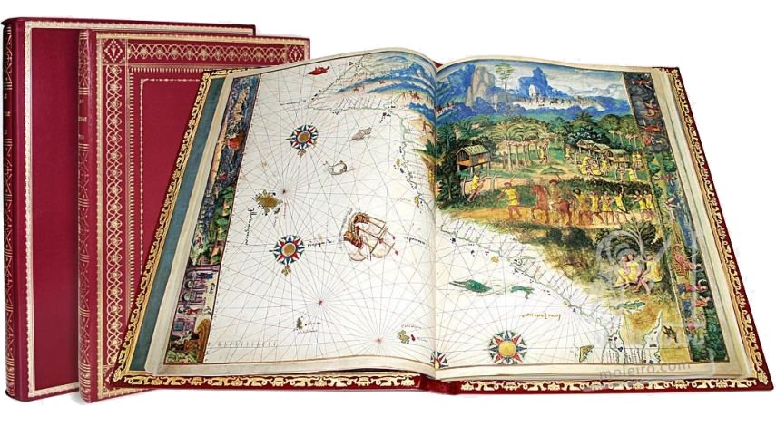
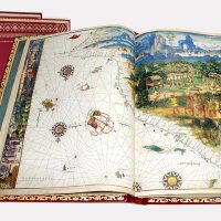
68 pages, 15 double-page nautical charts.
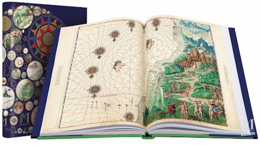
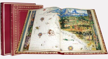
Red leather binding (c. 1805) with gold decoration.
Full-colour commentary volume (244 p.) by Luís Filipe F. R. Thomaz (Director of the Institute for Oriental Studies of the Portuguese Catholic University), Dennis Reinhartz (Emeritus professor at the University of Texas in Arlington) and Carlos Miranda (Doctor in History).
Unique and unrepeatable first edition, strictly limited to 987 numbered and authenticated copies.
ISBN: 978-84-96400-48-1


AV_5bbcbd53b2285_1moleiro.com-AV-4c7cc0653053f.jpg

Shelf mark: HM 29.
Date: 1547.
Size: ± 390 x 280 mm.
68 pages, 15 double-page nautical charts.
Red leather binding (c. 1805) with gold decoration.
Full-colour commentary volume (244 p.) by Luís Filipe F. R. Thomaz (Director of the Institute for Oriental Studies of the Portuguese Catholic University), Dennis Reinhartz (Emeritus professor at the University of Texas in Arlington) and Carlos Miranda (Doctor in History).
Unique and unrepeatable first edition, strictly limited to 987 numbered and authenticated copies.
ISBN: 978-84-96400-48-1


Commentary volume

Commentary volume

Vallard Atlas The Huntington Library, San Marino (CA)


  • Format: 250 x 340 mm
  • Pages: 240
  • llustrations: 210
  • Language: English, French, Spanish
  • ISBN: 978-84-96400-49-8
  • Contents:
  • Preface - Aníbal Cavaco Silva
  • From the editor to the reader - Manuel Moleiro
  • Introduction - Luís Filipe F. R. Thomaz 
  • The Dieppe school and its maps in their time - Dennis Reinhartz 
  • The Vallard Atlas and sixteenth century knowledge of Australia - Luís Filipe F. R. Thomaz
  • The maps of the Vallard Atlas - Luís Filipe F. R. Thomaz, Dennis Reinhartz
  • The mythological narrative in the margins of the Vallard Atlas - Carlos Miranda García-Tejedor
  • Appendix - Luís Filipe F. R. Thomaz
  • Notes
  • Bibliography
  • Authors:
  • Aníbal Cavaco Silva (former president of the Republic of Portugal)
  • Luís Filipe F. R. Thomaz (Director of the Institute for Oriental Studies of the Portuguese Catholic University)
  • Dennis Reinhartz (Emeritus professor at the University of Texas in Arlington)
  • Carlos Miranda García-Tejedor (Doctor in History)

Vallard Atlas The Huntington Library, San Marino (CA)


Descripcion

Description

Vallard Atlas

The Huntington Library, San Marino (CA)


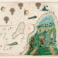
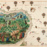
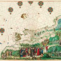
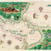
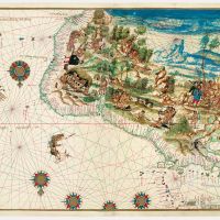
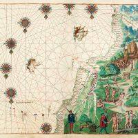
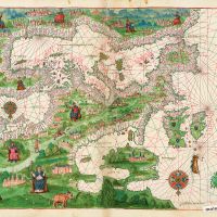
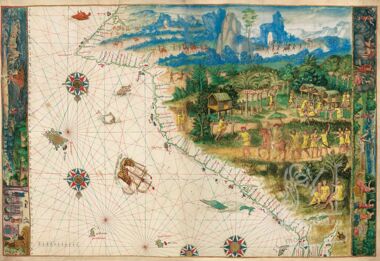
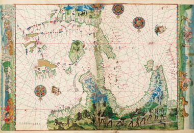
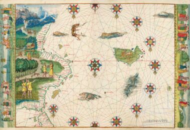
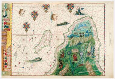
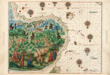
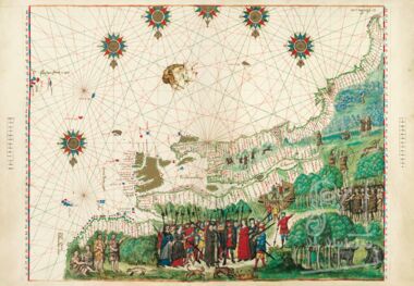
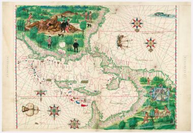
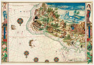
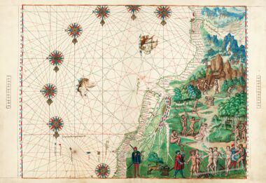
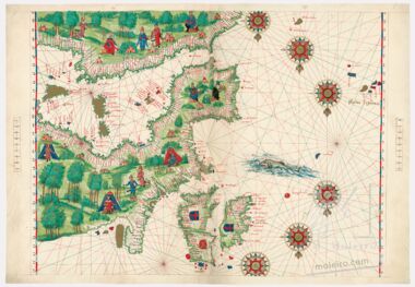
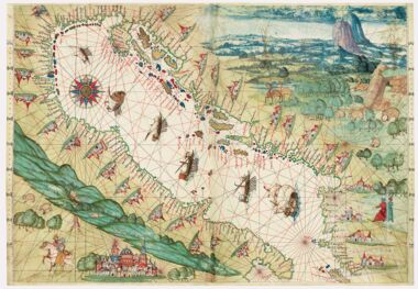
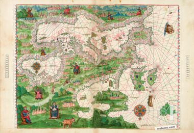
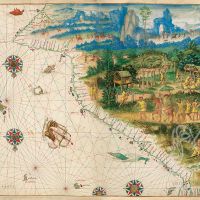
The prolific Dieppe school of Northern France produced some of the atlases with the most innovative and beautiful marginalia. The Vallard Atlas, whilst ascribed to the Dieppe cartography school, has a clearly Portuguese flavour due to either its anonymous creator or the model that inspired it. It is quite significant to note that the atlas depicts the Eastern Coast of Australia for the first time in history, 200 years before the voyages of Captain Cook, erroneously considered the continent's discoverer. Like the Atlas Miller, one of its most noteworthy characteristics are the miniatures depicting colonization scenes from the 16th century, plus countless illustrations of the daily life of the native population.
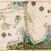
The atlas starts with an introductory text on the activity of the sun, followed by a calendar. A curious aspect of this atlas is the fact that in almost all the maps the North is oriented towards the bottom of the page and the South is at the top. This was, to all appearances, a habit of Muslim cartographers but this practice was quite rare in Christian Europe. It can be seen, for example, in the various portolan charts of the atlas drawn in c. 1321 by Pedro Vesconte (Lyon, Municipal Library).

Contents:

1. “Terra Java” (east coast of Australia’)
2. “La Jave” (north coast of Australia’), East Indies, part of Asia
3. “Terra Java” (west coast of Australia’)
4. Arabian Sea, Red Sea, and Persian Gulf
5. Southern Africa and southwest Indian Ocean
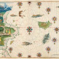
6. Atlantic Ocean with coast of Africa and Brazil
7. Northwest Africa
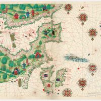
8. Europe and northern Africa
9. North America and Canada, east coast
10. West Indies, Mexico, Central America, northern South America
11. Northeastern South America
12. Southeastern South America, Straits of Magellan
13. Western Europe and northwestern Africa
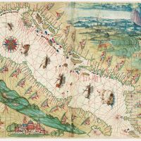
14. Adriatic Sea
15. Aegean Sea
 

Black and red ink is used for nomenclature in a minuscule script, with gold for area names; land masses are outlined in color with islands painted blue, red or gold; numerous compass roses on each chart with the usual 32 rhumb line network in black, red and green ink for the principal directions.

Charts 14 and 15 seem to be made by a second person since they differ in cartographic technique and artistic style. On title page, f. 1, under an armillary sphere is written “Nicolas Vallard de Dieppe, 1547.”

Owners:
 

Charles Maurice de Talleyrand-Périgord, Prince de Bénévent (1754-1838. His sale, London, 8 May 1816, n. 3464 to Robert Triphook. His sale, Evans, 29 March 1833, n. 445 to Henry Bohn. David Steward Ker sale, London, 7 May 1849, pt. IV, n. 791 to Sir Thomas Phillipps. “Phillipps MS 13199” inscribed on flyleaves ii and iii and his Middle Hill bookplate on front pastedown along with date “1850” and note describing the manuscript. Obtained privately by Henry E. Huntington through A. S. W. Rosenbach in 1924.
Customer reviews


Vallard Atlas
The Huntington Library, San Marino (CA)


5 (1 total reviews) 5 1 (1)

See more reviews ()

Vallard Atlas

Vallard Atlas The Huntington Library, San Marino (CA)
The Huntington Library, San Marino (CA)

Description

The prolific Dieppe school of Northern France produced some of the atlases with the most innovative and beautiful marginalia. The Vallard Atlas, whilst ascribed to the Dieppe cartography school, has a clearly Portuguese flavour due to either its anonymous creator or the model that inspired it. It is quite significant to note that the atlas depicts the Eastern Coast of Australia for the first time in history, 200 years before the voyages of Captain Cook, erroneously considered the continent's discoverer. Like the Atlas Miller, one of its most noteworthy characteristics are the miniatures depicting colonization scenes from the 16th century, plus countless illustrations of the daily life of the native population.
The atlas starts with an introductory text on the activity of the sun, followed by a calendar. A curious aspect of this atlas is the fact that in almost all the maps the North is oriented towards the bottom of the page and the South is at the top. This was, to all appearances, a habit of Muslim cartographers but this practice was quite rare in Christian Europe. It can be seen, for example, in the various portolan charts of the atlas drawn in c. 1321 by Pedro Vesconte (Lyon, Municipal Library).

Contents:

1. “Terra Java” (east coast of Australia’)
2. “La Jave” (north coast of Australia’), East Indies, part of Asia
3. “Terra Java” (west coast of Australia’)
4. Arabian Sea, Red Sea, and Persian Gulf
5. Southern Africa and southwest Indian Ocean
6. Atlantic Ocean with coast of Africa and Brazil
7. Northwest Africa
8. Europe and northern Africa
9. North America and Canada, east coast
10. West Indies, Mexico, Central America, northern South America
11. Northeastern South America
12. Southeastern South America, Straits of Magellan
13. Western Europe and northwestern Africa
14. Adriatic Sea
15. Aegean Sea
 

Black and red ink is used for nomenclature in a minuscule script, with gold for area names; land masses are outlined in color with islands painted blue, red or gold; numerous compass roses on each chart with the usual 32 rhumb line network in black, red and green ink for the principal directions.

Charts 14 and 15 seem to be made by a second person since they differ in cartographic technique and artistic style. On title page, f. 1, under an armillary sphere is written “Nicolas Vallard de Dieppe, 1547.”

Owners:
 

Charles Maurice de Talleyrand-Périgord, Prince de Bénévent (1754-1838. His sale, London, 8 May 1816, n. 3464 to Robert Triphook. His sale, Evans, 29 March 1833, n. 445 to Henry Bohn. David Steward Ker sale, London, 7 May 1849, pt. IV, n. 791 to Sir Thomas Phillipps. “Phillipps MS 13199” inscribed on flyleaves ii and iii and his Middle Hill bookplate on front pastedown along with date “1850” and note describing the manuscript. Obtained privately by Henry E. Huntington through A. S. W. Rosenbach in 1924.
commentary volume

Vallard Atlas The Huntington Library, San Marino (CA)
  • Format: 250 x 340 mm
  • Pages: 240
  • llustrations: 210
  • Language: English, French, Spanish
  • ISBN: 978-84-96400-49-8
  • Contents:
  • Preface - Aníbal Cavaco Silva
  • From the editor to the reader - Manuel Moleiro
  • Introduction - Luís Filipe F. R. Thomaz 
  • The Dieppe school and its maps in their time - Dennis Reinhartz 
  • The Vallard Atlas and sixteenth century knowledge of Australia - Luís Filipe F. R. Thomaz
  • The maps of the Vallard Atlas - Luís Filipe F. R. Thomaz, Dennis Reinhartz
  • The mythological narrative in the margins of the Vallard Atlas - Carlos Miranda García-Tejedor
  • Appendix - Luís Filipe F. R. Thomaz
  • Notes
  • Bibliography
  • Authors:
  • Aníbal Cavaco Silva (former president of the Republic of Portugal)
  • Luís Filipe F. R. Thomaz (Director of the Institute for Oriental Studies of the Portuguese Catholic University)
  • Dennis Reinhartz (Emeritus professor at the University of Texas in Arlington)
  • Carlos Miranda García-Tejedor (Doctor in History)

Pictures

Details

Shelf mark: HM 29.
Date: 1547.
Size: ± 390 x 280 mm.
68 pages, 15 double-page nautical charts.
Red leather binding (c. 1805) with gold decoration.
Full-colour commentary volume (244 p.) by Luís Filipe F. R. Thomaz (Director of the Institute for Oriental Studies of the Portuguese Catholic University), Dennis Reinhartz (Emeritus professor at the University of Texas in Arlington) and Carlos Miranda (Doctor in History).
Unique and unrepeatable first edition, strictly limited to 987 numbered and authenticated copies.
ISBN: 978-84-96400-48-1

Reviews

See more reviews ()

Cookie preferences

We use cookies and third-party cookies to improve our services by analyzing your browsing habits. For more information you can read our cookie policy. You can accept all cookies by clicking the Accept button or configure or reject their use by clicking HERE.