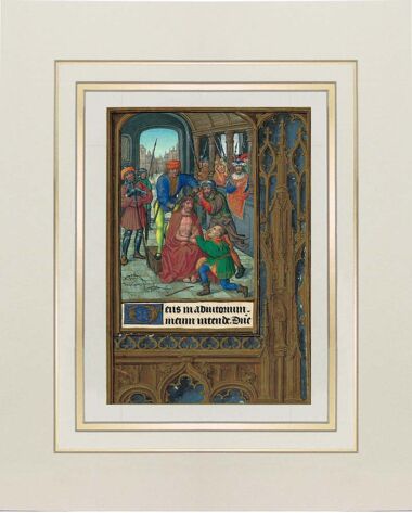
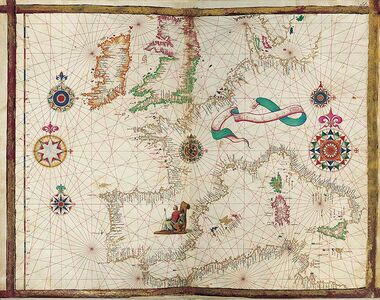
Map of Europe and North Africa from the Vallard Atlas
1 IDENTICAL ILLUMINATION
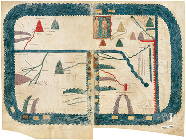
This chart is an exact replica of map nº 8 (Europe and North Africa) from the Vallard Atlas (1547), made on a special paper that renders the feel and properties of parchment.
The Vallard Atlas, ascribed to the Dieppe cartography school, has a clear Portuguese flavour due to either its anonymous creator or the model that inspired it. This map depicts Europe and its neighbouring regions, well known for centuries. Like almost all the other maps of the Vallard Atlas, this map is a nautical chart and hence it only contains costal toponyms; inland cities such as Paris or even London have not been identified. The only exception is Rome, which bears a small caption in black just north of Naples, which, like the most important ports, has been identified by a red caption.
We use our own and third-party cookies to improve our services by analyzing your browsing habits. For more information, you can read our cookie policy. You can accept all cookies, configure them, or reject their use by clicking one of the buttons below.