Atlas Miller
Bibliothèque nationale de France, Paris
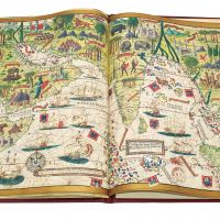
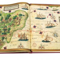
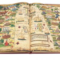
Datierung: um 1519 entstanden
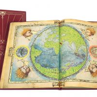
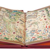
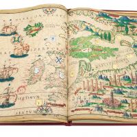
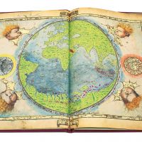
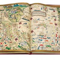
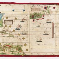
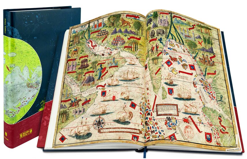
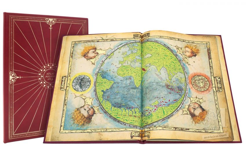
Format: 6 Pergamente: 8 Landkarten im Format 41,5 x 59 cm und 2 Landkarten 61 x 117 cm.
Gemeinschaftswerk von Pedro und Jorge Reinel, Lopo Homem (Kartographen) und António de Holanda (Miniaturist)
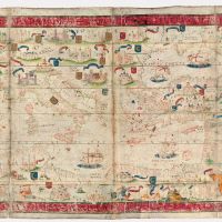
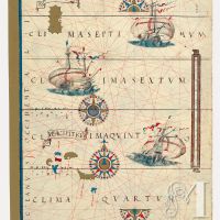
Die in dem Atlas dargestellten geografischen Bereiche sind: Erdkarte, der nördliche Atlantische Ozean, Nordeuropa, die Inselgruppe der Azoren, Madagaskar, der Indische Ozean, Inselindien, Chinesisches Meer, die Molukken, Brasilien, der Atlantische Ozean und das Mittelmeer.
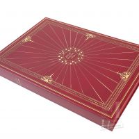
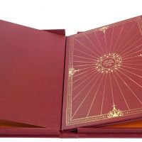
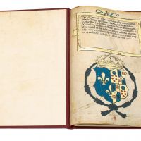
Lederschuber.
Monographischer Kommentarband in Vielfarbendruck (432 S.) von Alfredo Pinheiro Marques (Centro de Estudos do Mar), Luís Filipe Thomaz (Director of the Institute for Oriental Studies of the Portuguese Catholic University) und Bernardo Sa Nogueira (Universidade de Lisboa)
Erste, einzige und unwiederholbare auf 987 Exemplare limitierte und notariell beglaubigte Auflage
ISBN: 978-84-96400-04-7
Datierung: um 1519 entstanden
Format: 6 Pergamente: 8 Landkarten im Format 41,5 x 59 cm und 2 Landkarten 61 x 117 cm.
Gemeinschaftswerk von Pedro und Jorge Reinel, Lopo Homem (Kartographen) und António de Holanda (Miniaturist)
Die in dem Atlas dargestellten geografischen Bereiche sind: Erdkarte, der nördliche Atlantische Ozean, Nordeuropa, die Inselgruppe der Azoren, Madagaskar, der Indische Ozean, Inselindien, Chinesisches Meer, die Molukken, Brasilien, der Atlantische Ozean und das Mittelmeer.
Lederschuber.
Monographischer Kommentarband in Vielfarbendruck (432 S.) von Alfredo Pinheiro Marques (Centro de Estudos do Mar), Luís Filipe Thomaz (Director of the Institute for Oriental Studies of the Portuguese Catholic University) und Bernardo Sa Nogueira (Universidade de Lisboa)
Erste, einzige und unwiederholbare auf 987 Exemplare limitierte und notariell beglaubigte Auflage
ISBN: 978-84-96400-04-7